How to Read a Topographic Map: The Navigation Skill Every Hiker Needs
A topographic map is a two-dimensional representation of three-dimensional terrain that tells you everything relevant about what lies ahead — the steepness of climbs, the location of water sources, the presence of cliffs and drainages, the distance to the next ridge. It requires no battery, no satellite signal, and no connectivity.
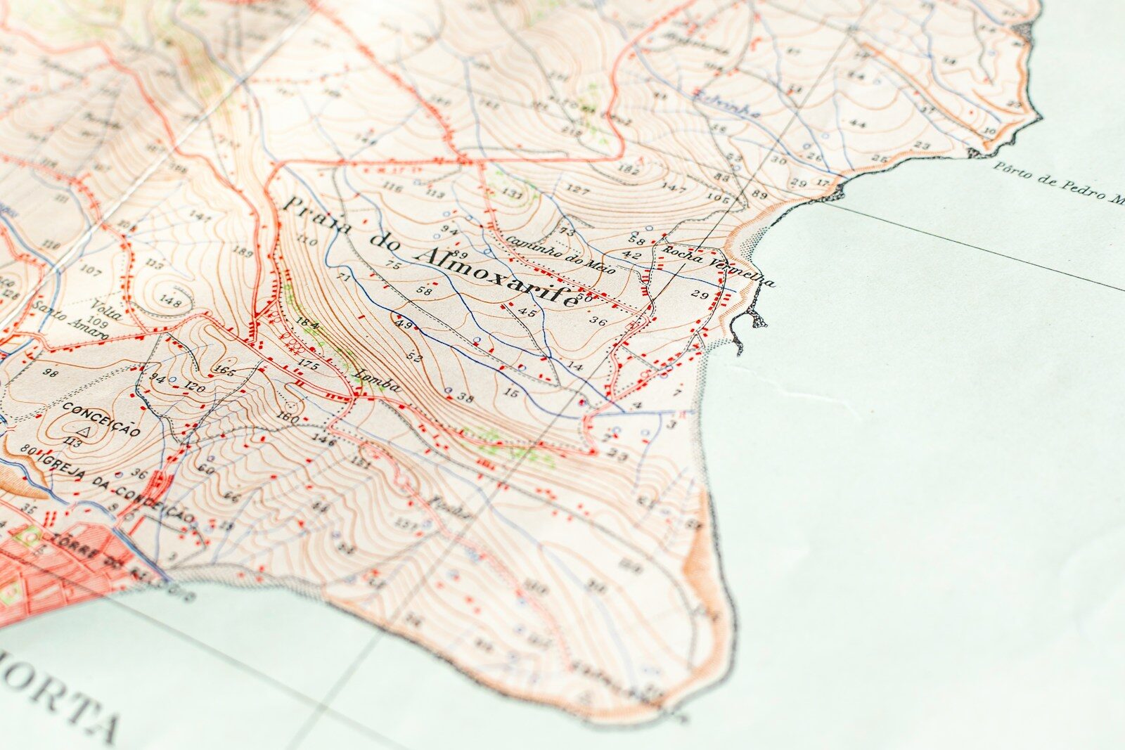
Contour Lines: Reading Elevation
Contour lines are the curved lines covering a topo map, each representing a consistent elevation. The contour interval — the elevation difference between adjacent lines — is printed in the map legend. When contour lines are far apart, terrain is gentle. When close together, terrain is steep. When nearly touching, terrain is a cliff. V-shapes pointing uphill indicate valleys and drainages. V-shapes pointing downhill indicate ridges. Closed loops indicate summits or depressions.
Using the Map With a Compass
A map without a compass tells you what terrain looks like but not which direction you face. A compass without a map tells you direction but not what lies in that direction. Together they allow precise position determination and route planning without electronics. Taking a bearing from a map to a terrain feature, and orienting a map with a compass so the map’s north aligns with actual north, are the two foundational skills of map-and-compass navigation — learnable in an afternoon with practice.